Aug 1, 2020
SpaceX says Starlink internet has ‘extraordinary demand,’ with nearly 700,000 interested in service
Posted by Genevieve Klien in categories: internet, satellites

SpaceX said Starlink, its nascent satellite internet service, has already seen “extraordinary demand” from potential customers, with “nearly 700,000 individuals” across the United States indicating they are interested in the company’s coming service.
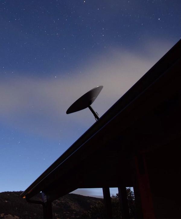
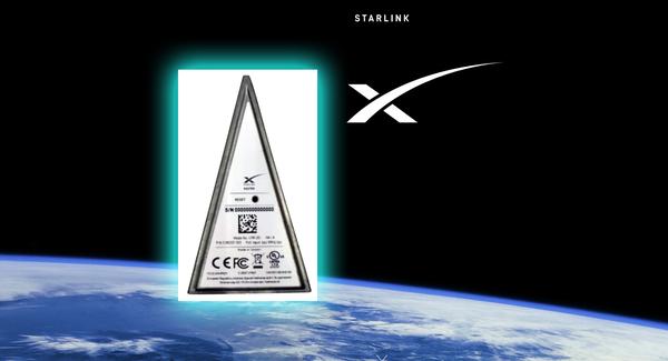
Due to the greater-than-expected interest, SpaceX filed a request with the Federal Communications Commission on Friday — asking to increase the number of authorized user terminals to 5 million from 1 million. User terminals are the devices consumers would use to connect to the company’s satellite internet network.
The request comes about a month and a half after SpaceX updated its Starlink website to allow potential customers to “get updates on Starlink news and service availability in your area.” Registering one’s interest in Starlink service meant simply submitting an email address and postal address, with no fee required to receive updates.