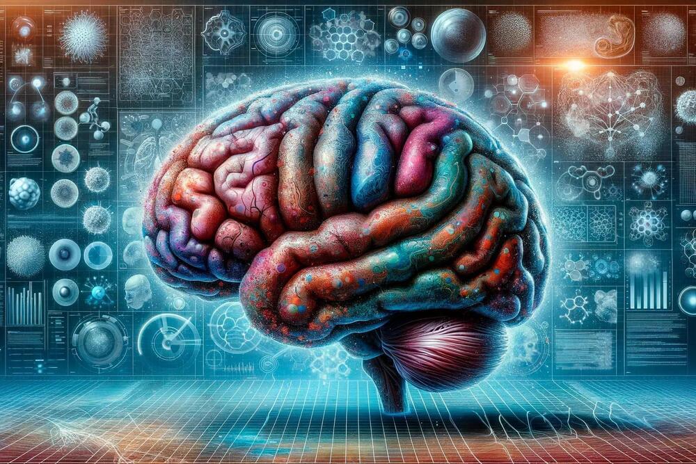
The new research, part of the NIH BRAIN Initiative, paves the way toward treating, preventing, and curing brain disorders.
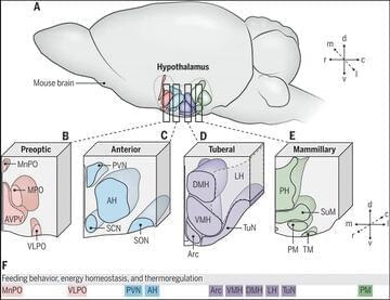
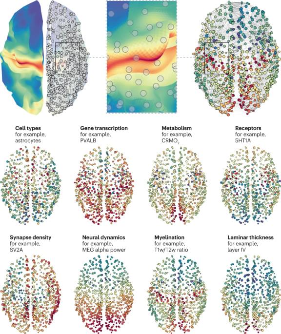
Salk Institute researchers, as part of a larger collaboration with research teams around the world, analyzed more than half a million brain cells from three human brains to assemble an atlas of hundreds of cell types that make up a human brain in unprecedented detail.
The research, published in a special issue of the journal Science on October 13, 2023, is the first time that techniques to identify brain cell subtypes originally developed and applied in mice have been applied to human brains.