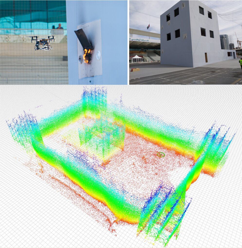
To enable the efficient operation of unmanned aerial vehicles (UAVs) in instances where a global localization system (GPS) or an external positioning device (e.g., a laser reflector) is unavailable, researchers must develop techniques that automatically estimate a robot’s pose. If the environment in which a drone operates does not change very often and one is able to build a 3D map of this environment, map-based robot localization techniques can be fairly effective.
Ideally, map-based pose estimation approaches should be efficient, robust and reliable, as they should rapidly send a robot the information it needs to plan its future actions and movements. 3D light detection and ranging (LIDAR) systems are particularly promising map-based localization systems, as they gather a rich pool of 3D information, which drones can then use for localization.
Researchers at Universidad Pablo de Olavide in Spain have recently developed a new framework for map-based localization called direct LIDAR localization (DLL). This approach, presented in a paper pre-published on arXiv, could overcome some of the limitations of other LIDAR localization techniques introduced in the past.