A new ‘Data in Action’ ArcGIS Story Map at NASA’s Land Processes Distributed Active Archive Center (LP DAAC) maps deforestation in Cambodia using NASA Moderate Resolution Imaging Spectroradiometer (MODIS) Land Cover and Vegetation Continuous Fields datasets to highlight land cover changes.
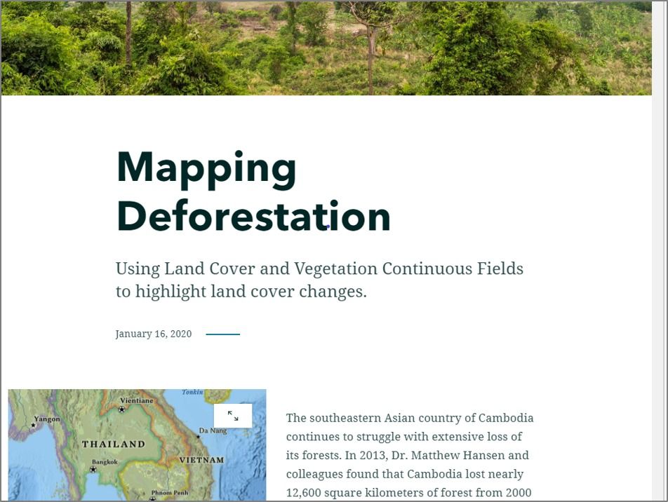
The southeastern Asian country of Cambodia continues to struggle with extensive loss of its forests. In 2013, Dr. Matthew Hansen and colleagues found that Cambodia lost nearly 12,600 square kilometers of forest from 2000 to 2012. This ranked fifth worldwide for the time period (Hansen et al. 2013). Since 2012, Cambodia has continued to experience forest loss at alarming rates, loss that has extended even into the country’s national parks and protected areas. Large scale vegetation loss, or gains, can be monitored using Earth observation land data products derived from the Moderate Resolution Imaging Spectroradiometer (MODIS) instrument on-board the Terra satellite. Data products like these are archived and distributed free of charge by NASA’s LP DAAC.