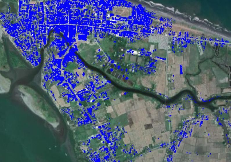
Here’s a snapshot of AI-predicted built-up areas in Aparri from Planet satellite images. This image was processed by the DATOS Project team before the onslaught of Typhoon #OmpongPH. Images will also be processed after the typhoon to detect changes in urban areas, such as destroyed buildings and changes in landscape.
Read more
